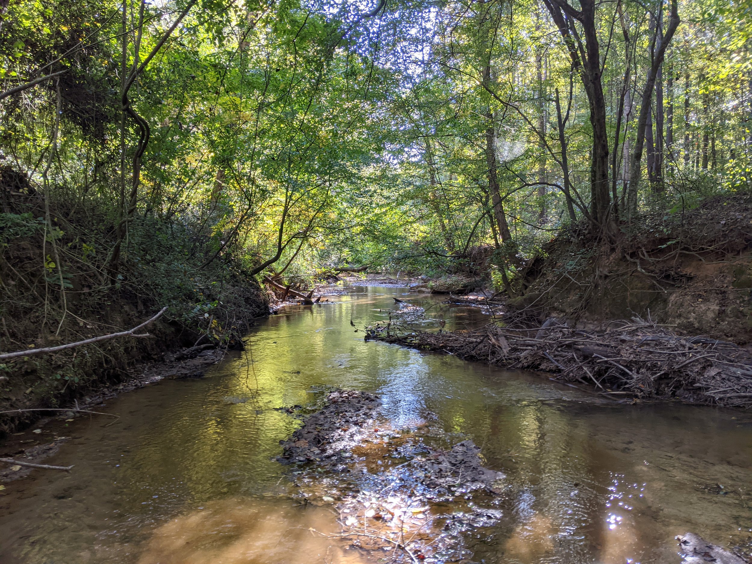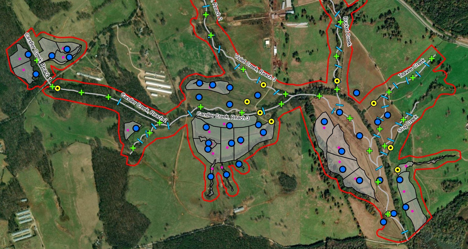
Located in Jackson County, Georgia, the Diamond C Ranch Mitigation Bank (DCRMB) encompasses approximately 405 acres, just northwest of Maysville and west of Gainesville. Strategically positioned in the Upper Oconee River Watershed, the Bank addresses mitigation needs in a rapidly developing region of northeast Georgia by providing wetland and stream credits.
The DCRMB’s primary service area is Upper Oconee (HUC 03070101), with secondary service areas including the Broad (HUC 03060104), Little (HUC 03060105)and Ocmulgee (HUC 03070103 ).
This coverage includes high-growth areas such as Athens, Winder, Jefferson, and Braselton, aligning with ongoing development trends and transportation expansion corridors.
The Bank includes approximately 27,700 linear feet of stream mitigation, divided into restoration and enhancement actions:
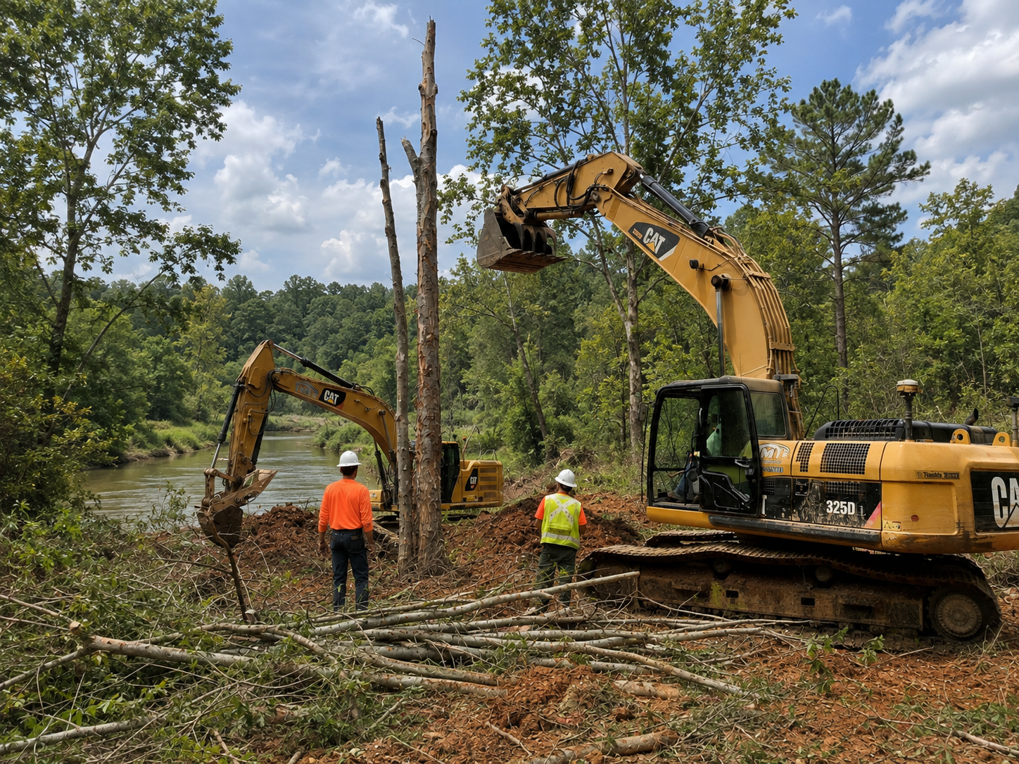
Realignment and reconstruction of deeply incised and degraded channels, installation of large wood structures, and floodplain reconnection.
Construction of inset floodplains, removal of agricultural ponds and dams, and installation of native riparian plantings.
Targeted improvements to stream habitat and vegetation structure, including invasive species removal and woody debris placement.
These efforts will:
Reconnect streams with their natural floodplains
Increase habitat diversity and hydrologic function
Improve water quality by reducing erosion and sediment loads
Establish over 255 acres of forested riparian buffers for long-term protection
The Bank will restore, enhance, and preserve wetland functions across 76.8 acres, including:
23.4 acres of wetland restoration in the Candler Creek floodplain
2.9 acres of wetland enhancement, focused on vegetative structure and large woody debris
5.8 acres of wetland preservation in high-quality, fully functional wetland systems
Mitigation actions include:
Filling over 20,000 linear feet of agricultural drainage ditches to restore natural hydrology
Planting diverse native wetland vegetation after removal of pasture grasses and invasive species
Installing microtopographic features and large woody debris to improve habitat complexity
Protecting and reforesting 61 acres of upland buffers
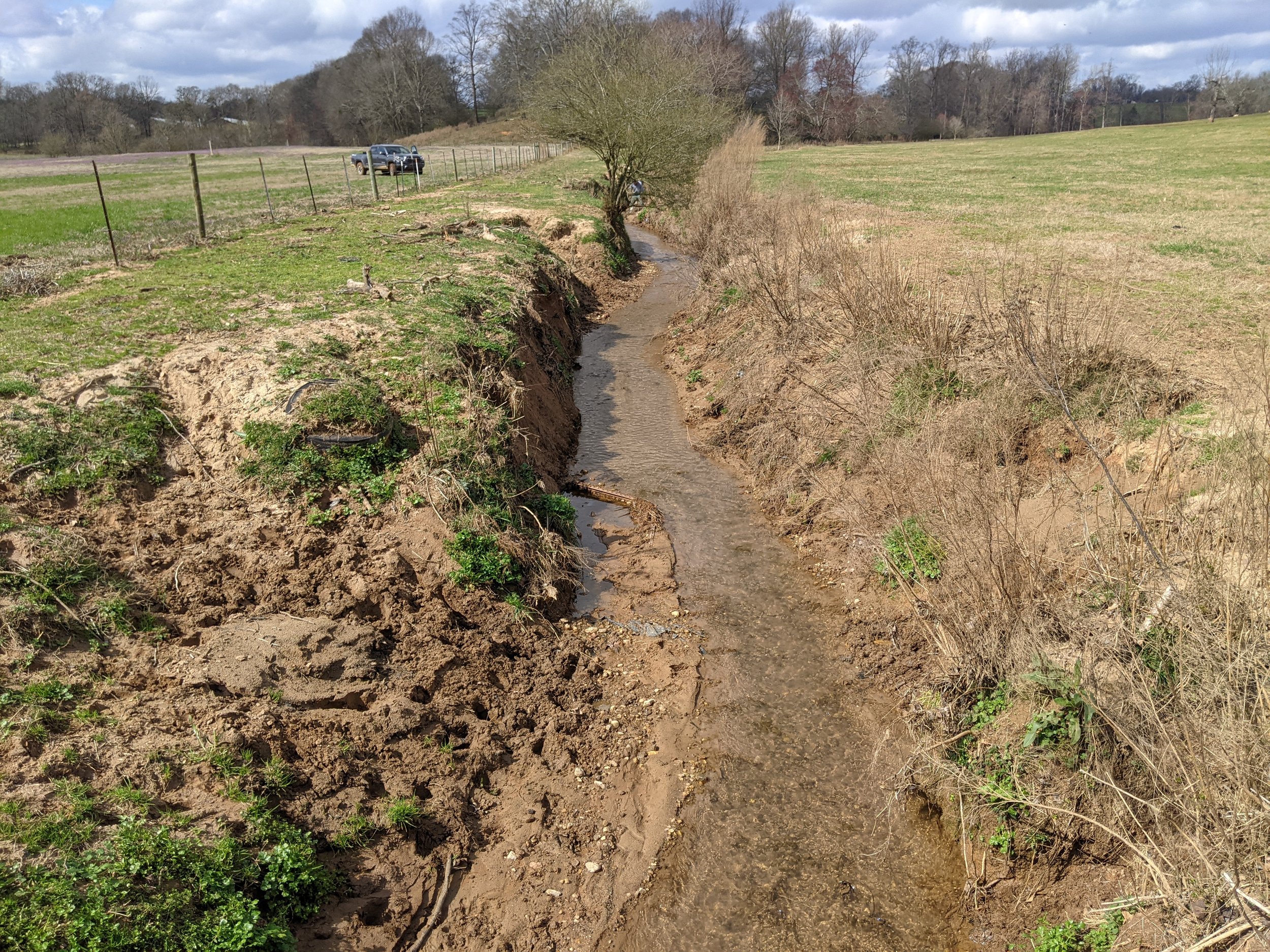
Pre-Construction (2022 - 2026): Finalize the Mitigation Banking Instrument, secure permits, complete final design and surveys, and record the conservation easement. Expected completion by late 2026.
Construction (2027): Stream restoration includes channel reconstruction, large wood installation, ditch filling, and riparian buffer work. Wetland restoration includes floodplain reconnection, pond removal, slope wetland improvements, and native planting. Construction is expected to take 12 months, with completion by early 2027.
Monitoring (2027–2033):
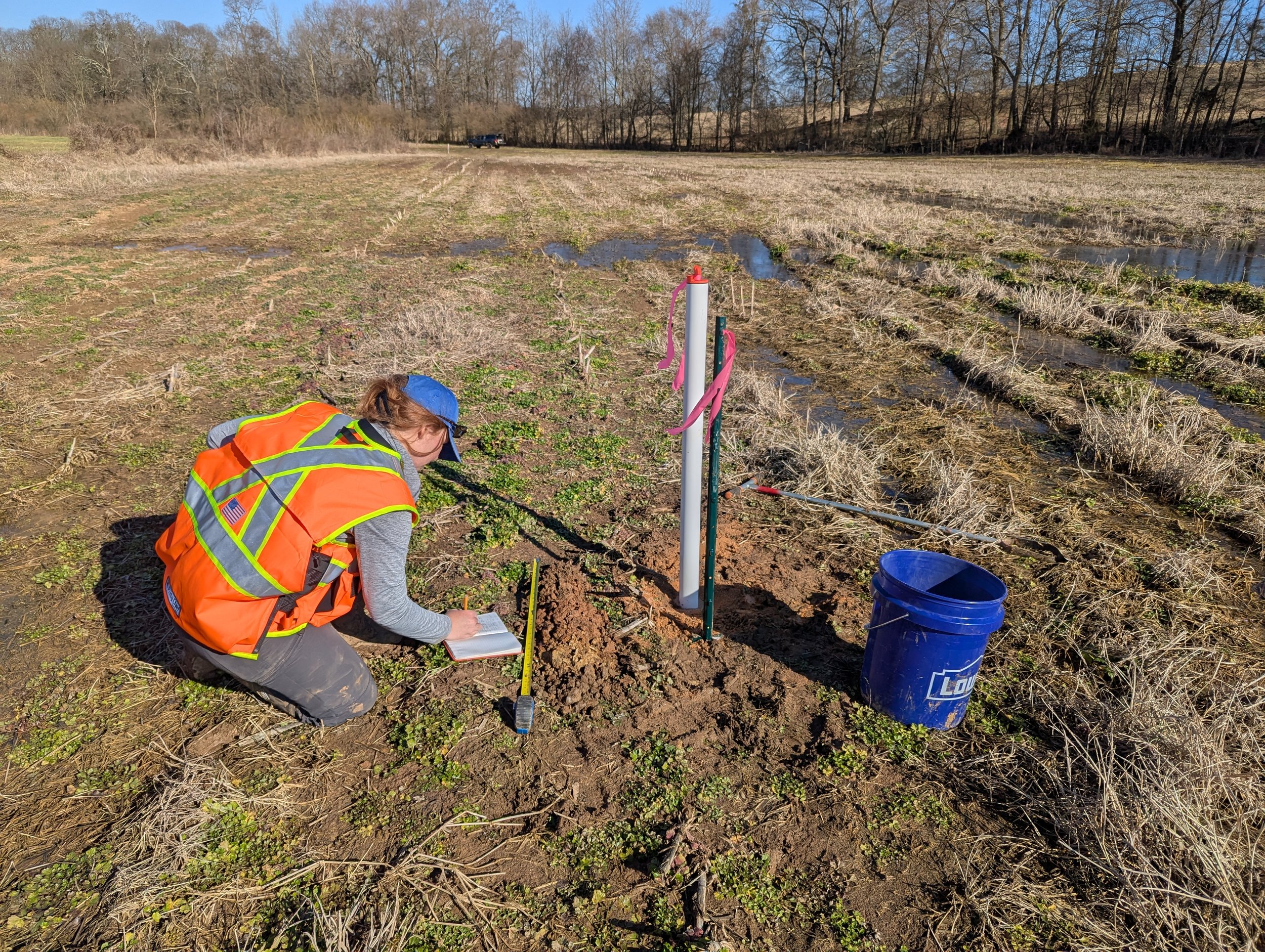
Monitoring begins after construction to track ecological performance. Initial credit release is expected in early 2027, with additional releases tied to success milestones meeting interim performance standards. Full release occurs once all performance standards are met.